Southern California HOV and HOT/Toll Roads Map
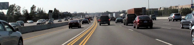
In planning my recent trip in Southern California I found it helpful to know where the Carpool lanes and Toll Roads are to ensure speedier travel through the region. Rather then plan a trip through toll roads or high traffic corridors without High Occupancy Vehicle (HOV) lanes as an option, I re-routed to find a route with the most HOV lanes (and HOV2HOV connection flyovers!)
Below is a map (updated: Nov. 2012) for your next trip planning in LA and Orange Counties to use HOV, HOT or Toll Roads. Note the recently added I-110 High Occupancy Toll (HOT) lanes have been added! Soon to have more HOT lanes. If you notice a blue light above some of these toll readers, this is for nearby CHP officers to see if a vehicle toll tag violation occurs. When a vehicle passes under the toll tag reader without a transponder, a blue light will flash. Any CHP nearby will then know to chase after that vehicle for a violation.

Safe Travels!
0 comments:
Post a Comment